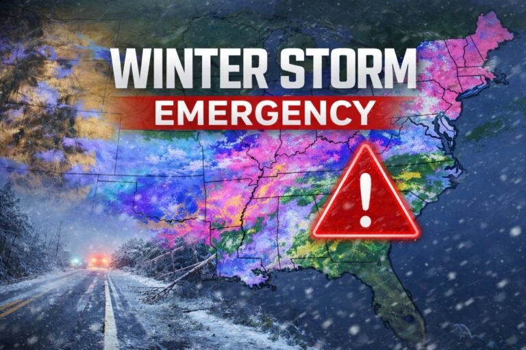
January 24, 2026 — Pennsylvania — After days of intense cold, Pennsylvania is now facing another winter challenge as snow and icy conditions move into the state, raising concerns about hazardous travel and road safety through the weekend.
Weather officials say the combination of freezing temperatures and incoming precipitation increases the risk of slick roads, especially overnight and during early morning hours.
Cold air creates dangerous setup
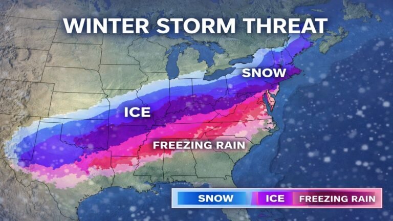
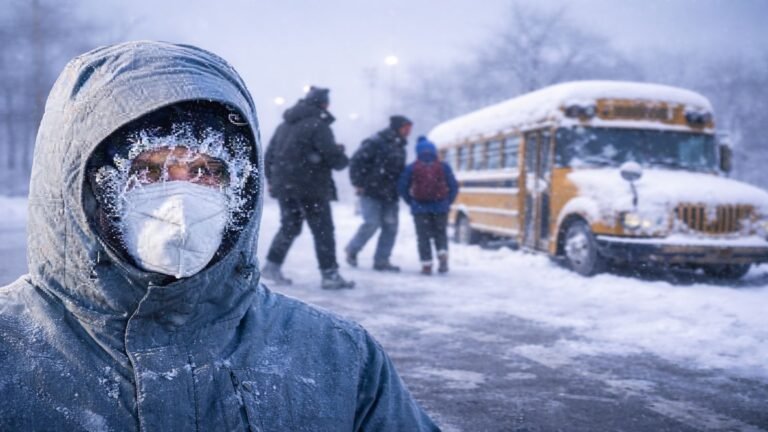
Much of Pennsylvania has been locked in bitter cold, with temperatures remaining well below freezing across multiple regions. Meteorologists warn that this cold base will allow snow and freezing precipitation to accumulate quickly on road surfaces, even if snowfall amounts remain modest.
Wind chills have kept conditions uncomfortable, and the cold ground means melting will be limited once snow begins to fall.
Snow spreads across the state
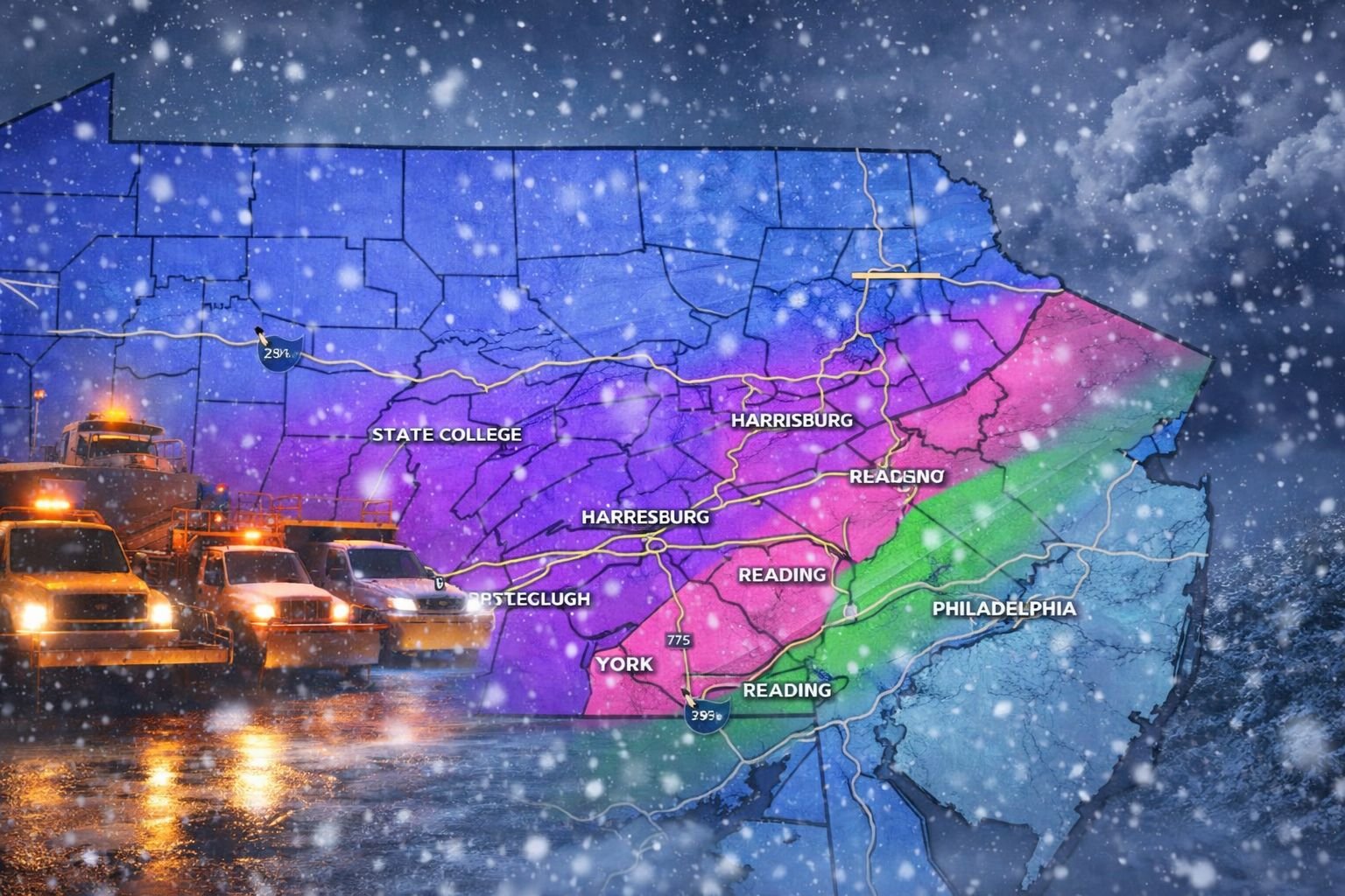
Snow is expected to reach western Pennsylvania first before expanding eastward into central and southeastern parts of the state. Forecasters indicate that the most active period is likely to occur overnight into Saturday morning, when visibility and road conditions may deteriorate rapidly.
In eastern Pennsylvania, light snow and icy patches are expected to develop as the system moves through, with some areas experiencing a brief mix before tapering off later in the day.
Crews mobilize ahead of impact
In Allegheny County and the Pittsburgh area, public works officials have deployed salt trucks and plows in advance of the storm. Crews are focusing on major roadways, bridges, and hills, where ice buildup can quickly create dangerous driving conditions.
Officials say preparations began early due to the cold temperatures, which reduce the effectiveness of road treatments if applied too late.
Travel concerns and timing
Transportation agencies are urging drivers to use caution, particularly during overnight travel and early Saturday commutes. Snow covered roads, icy intersections, and reduced traction are expected during peak snowfall periods.
Emergency officials recommend allowing extra travel time, reducing speeds, and checking local conditions before heading out.
What happens next
Snow is expected to taper off later Saturday, though lingering cold temperatures may keep icy spots in place even after precipitation ends. Officials warn that refreezing could occur overnight, especially on untreated surfaces.
Weather agencies continue to monitor the system and will issue updates as conditions evolve. Residents are encouraged to stay informed and limit travel when possible during the storm’s most active hours.